Coastal Explorer Screen Shot Gallery
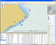 |
AIS Targets This screen shot shows a couple of AIS targets on the chart as well a table of all of the targets seen recently. 1280 x 1024 / 186 KB
|
 |
Autopilot Setup This is the autopilot setup dialog box showing how the user need only select a manufacturer and model. 458 x 385 / 32 KB
|
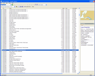 |
Chart Portfolio: List View This is the detailed list view of the Chart Portfolio. 1280 x 1024 / 151 KB
|
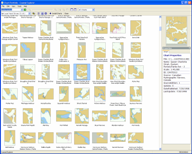 |
Chart Portfolio: Thumbnail View This is the thumbnail view of the Chart Portfolio. 1280 x 1024 / 351 KB
|
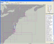 |
Chart Portfolio: World Map View This is the world map view of the Chart Portfolio. 1280 x 1024 / 141 KB
|
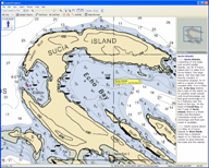 |
Guide Books This shot shows a guide book entry for the Sucia Islands. 1280 x 1024 / 213 KB
|
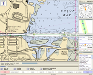 |
Cruise Mode A typical cruise mode screen showing a few virtual instruments. 1280 x 1024 / 651 KB
|
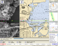 |
Cruise Mode Another cruise mode screen showing a split chart. 1280 x 1024 / 215 KB
|
 |
Current Prediction Graph The tidal current predictor. 1280 x 531 / 48 KB
|
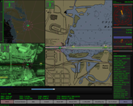 |
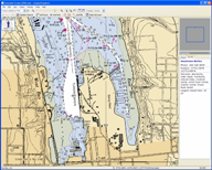
Cruising at Dusk The dusk mode colors. Note how even the photo chart is re-colored. 1280 x 1024 / 534 KB
|
 |
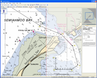
Marine Facilities An entry from the Maptech marine facilities database. 1280 x 1024 / 249 KB
|
 |
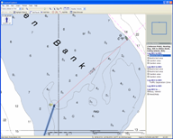
Highlight Objects An example of how the Highlight Objects command works. The left side of the chart is shown normally, and the right side has the object hightlighting enabled. 1280 x 1024 / 194 KB
|
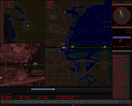 |
Cruising at Night The night mode colors. 1280 x 1024 / 433 KB
|
 |
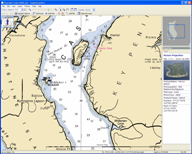
Obstacle Detection Obstacle detection at work while creating a route. 1280 x 1024 / 118 KB
|
 |
Aerial Photo An aerial photo from a Maptech Digital ChartKit. 1280 x 1024 / 217 KB
|
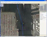 |
Photo Chart A high-resolution photo chart. 1280 x 1024 / 1,556 KB
|
 |
Port Troubleshooter The Port Troubleshooter feature indicating the connected devices. 810 x 532 / 40 KB
|
 |
Port Troubleshooter: Sentences The Port Troubleshooter decoding NMEA sentences. 456 x 390 / 16 KB
|
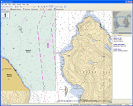 |
Raster+Vector Raster and Vector charts quilted together. 1280 x 1024 / 283 KB
|
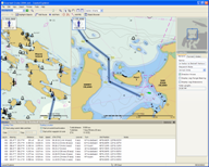 |
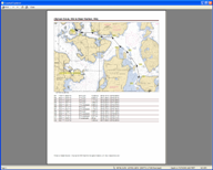
Route Details The Route Details feature calculating ETA, turn angles, etc. 1280 x 1024 / 370 KB
|
 |
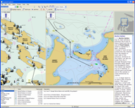
Route Printout Print Preview of a route being printed. 1280 x 1024 / 178 KB
|
 |
Split Chart Typical split chart view. 1280 x 1024 / 387 KB
|
 |
Tide Prediction Graph Tide prediction graph indicating sun rise and set times, and moon rise, set, and phase. 1280 x 531 / 50 KB
|
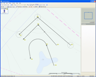 |
Waypoint Styles Examples of the different waypoint styles. On top is a "normal" arrival circle style waypoint, in the middle is a "wheel-over-line" style waypoint, and on the bottom is a "predicted-log-race" style of waypoint. 1280 x 1024 / 125 KB
|
COPYRIGHT © 2003-2004 ROSE POINT NAVIGATION SYSTEMS, LLC. ALL RIGHTS RESERVED.
